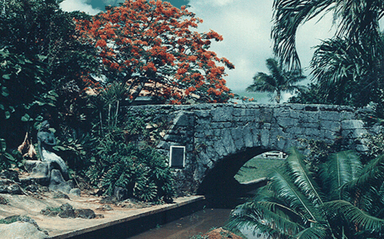
Mount Lamlam, the highest peak in Guam, rises 406 meters (1,332 feet) above the deep blue waters surrounding the island.
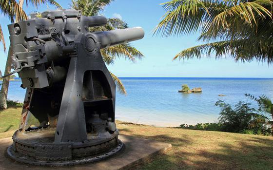
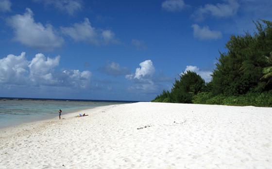
Ga'an Point in Agat was part of the southern landing site of the United States forces in the liberation of Guam on July 21, 1944. The southern landing area encompassed from Bangi Island to Apaca Point.
From the Navy Base, Drive North up Marine Corps Drive. You will pass the turn for Polaris Point, the Port Authority, and the Guam Power Authority Piti power plant on your left. Soon after the stop light for the power plant, keep a lookout to your right for J.M. Tuncap Street.
ANDERSEN AIR FORCE BASE, Guam -- A short drive from Andersen AFB’s main gate, unbeknownst to many members of Team Andersen, lies one of Guam’s most hidden gems.
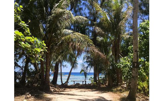
Guam’s beauty is steeped in history. So get out and explore the island and educate yourself on why things look the way they do.
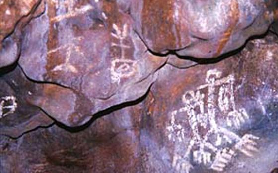
One of the best examples of Chamorro cave art can be found in Inarajan at what is known as Gadao’s Cave. This limestone cave is located above the shoreline, approximately four meters inland.
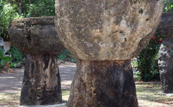
Think about Easter Island and it’s a good bet that its iconic stone monoliths come to mind first. But they aren’t the only massive stone carvings on remote Pacific islands that have fascinated and puzzled archeologists, anthropologists, explorers and travelers for centuries.
Our decision to fly to Bhutan via Nepal was not just a practical one, but also an adventure in itself.
If you are an active-duty service member and are considering getting a tattoo, be sure to inform yourself of the rules and regulations. Here is an overview of current military tattoo policies.
Hagåtña is derived from the word “haga” meaning blood. It is believed that this village came about due to the bloodlines of the families that established the village.